Organized data can become invaluable information.
Geographic Information Systems (GIS) is a technology that provides a database capable of not only capturing, storing, and sharing data in a tabular format, but also the spatial and temporal components that help us visualize data in ways that are priceless.
The team at Canopy Spatial is committed to using the best tools and resources available to provide solutions in GIS and the related technologies that help you maximize your data resources.

Bad Data?
The days of paper and people have rapidly transformed into the days of records and systems. The best system of record in many cases is a GIS. Are you using a GIS to manage your data?
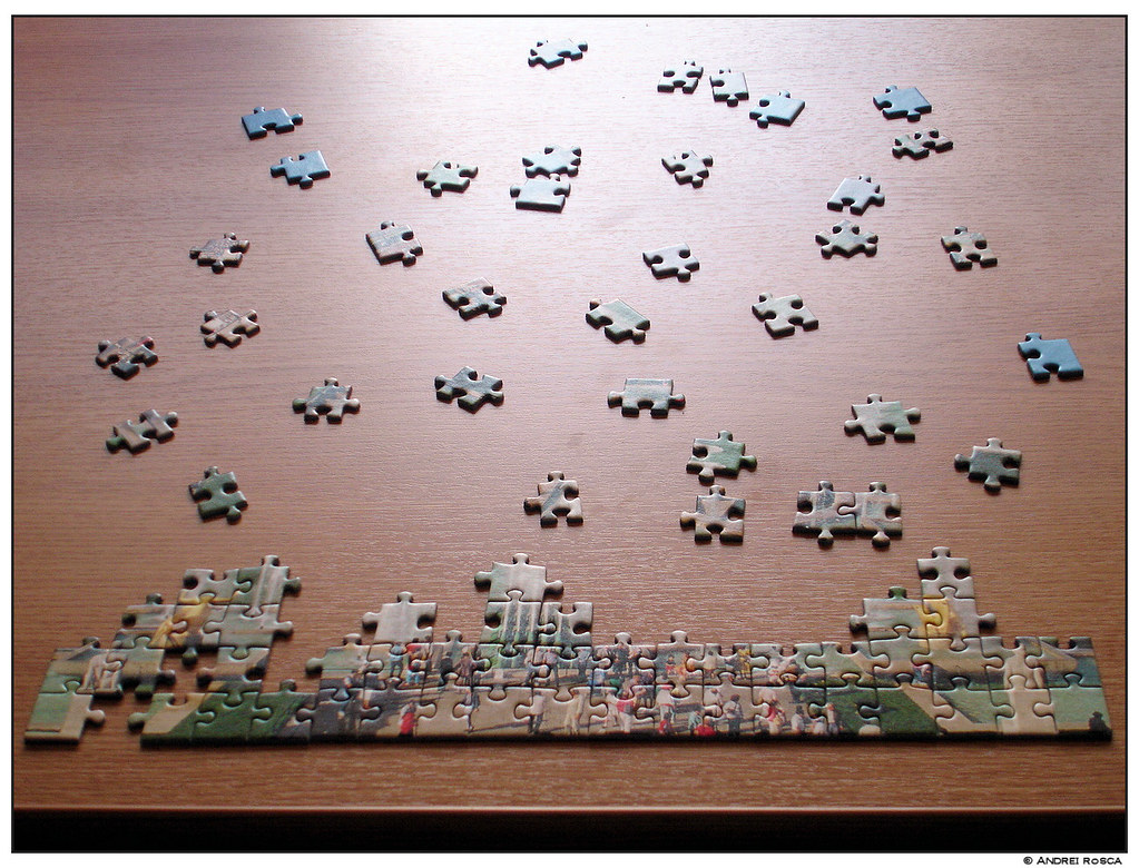
Missing data?
Data maintenance is the task that is like a triathlon or marathon that never ends. The systems that we manage are always changing, constantly growing, and in need of repair or modification. Is your data driving your efforts?

data driven?
Your data is collected, verified, and stored in a GIS. Stakeholders are beginning to make informed decisions. Data driven processes rely on data maintenance and collaboration. How are you organizing operational resources to compliment your data strategy?

Smart cities ready?
Big Data and the Internet Of Things (IOT) are becoming the norm. We are connected today in ways that were only imaginable 40 years ago. Is your data prepared to embrace these technologies for the betterment of life?
Office Locations:
TENNESSEE: 5100, Poplar Ave., Suite 2700, Memphis, TN, 38137
FLORIDA: 615 Cinnamon Ct., Satellite Beach, FL 32937

Geographic information systems
The Science of Where